Flood zones change when FEMA updates risk maps. This change often confuses homeowners across coastal regions.
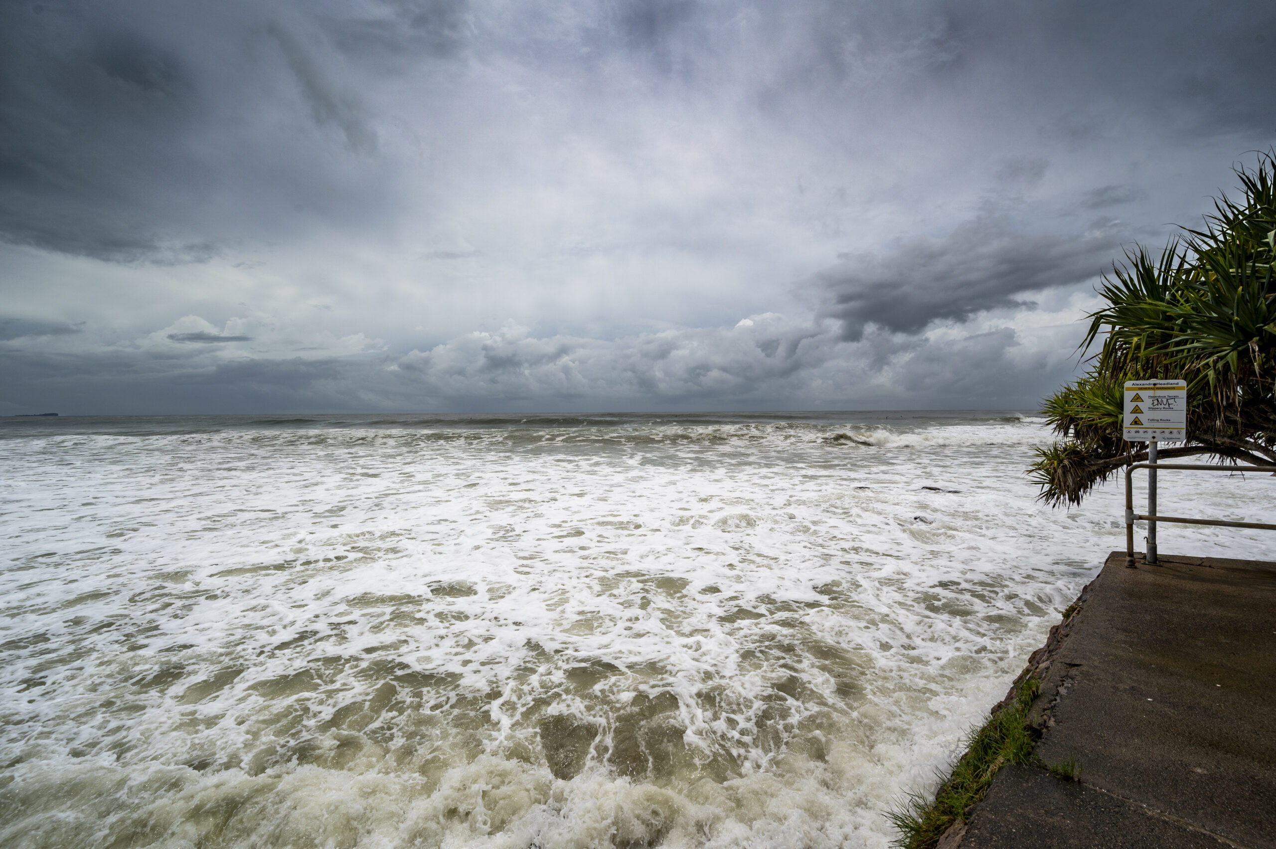
A Coastal High Hazard Area (CHHA) shows regions exposed to strong storm surge forces. Your property risk level can change after FEMA releases updated flood data. These updates come from storm history, rainfall records, and elevation studies. Across the United States, more than thirteen million properties face flood exposure risks. Coastal regions experience faster map changes due to stronger storms and rising sea levels. Understanding updated flood zones helps protect your home and financial stability. This guide explains FEMA flood maps in simple and clear language.
What FEMA Flood Maps Show About Coastal Risk Changes?
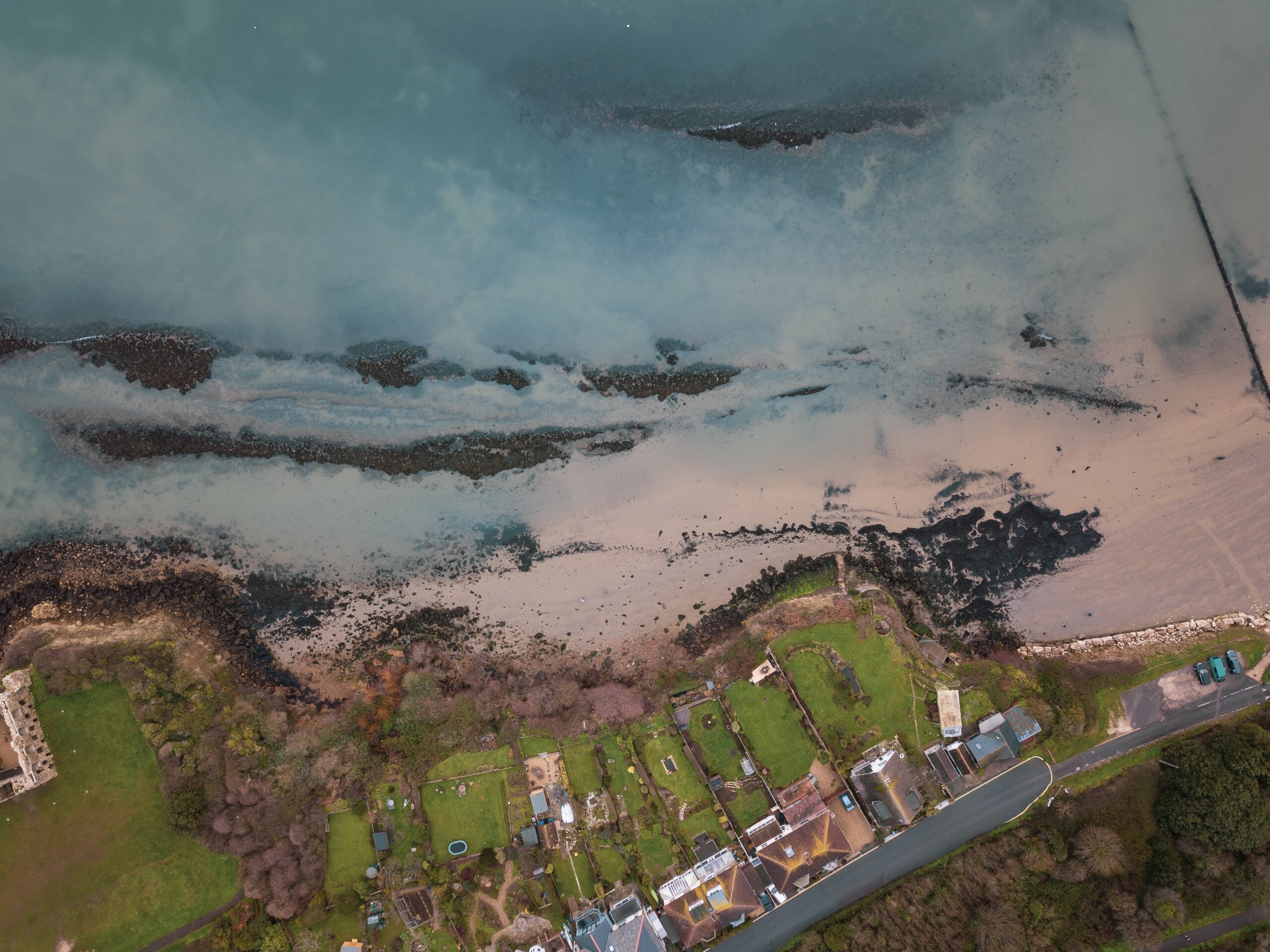
FEMA flood maps explain how water risk gets classified across different regions. These maps divide land into zones based on flood exposure levels. A coastal flood zone includes land near oceans and tidal water movement areas. These zones change when FEMA adds new storm and elevation data. Shoreline shape also influences classification results. FEMA uses satellite imaging and climate studies to update map accuracy. These updates reflect real environmental changes across different years. A coastal flood risk area may expand after major storm events impact regions. Homes may move into higher-risk zones after updated assessments. Rainfall patterns and surge models shape these changes.
Millions of homes exist within coastal zones across the United States. Many flood claims come from moderate-risk regions each year. Small map changes can alter insurance requirements. A coastal hazard zone includes areas exposed to strong winds and water forces. FEMA reviews storm history before finalizing these designations. Building rules often change within these areas. Updated maps help communities prepare for real flood exposure risks. Cities also use this information for planning safer infrastructure systems.
Need help after the flood map changes today?
Get My Flood Guidance
Why Coastal Flood Insurance Costs Shift After Map Updates?
Insurance cost depends on FEMA flood risk classification levels. Map updates can increase or decrease insurance premiums. A high-risk coastal flood zone requires mandatory flood insurance coverage rules. Lenders include this requirement for home loan approval conditions. Homeowners adjust policies after FEMA map changes. Flood Insurance companies use FEMA data when setting premium pricing structures. Property elevation and location affect the final insurance cost.
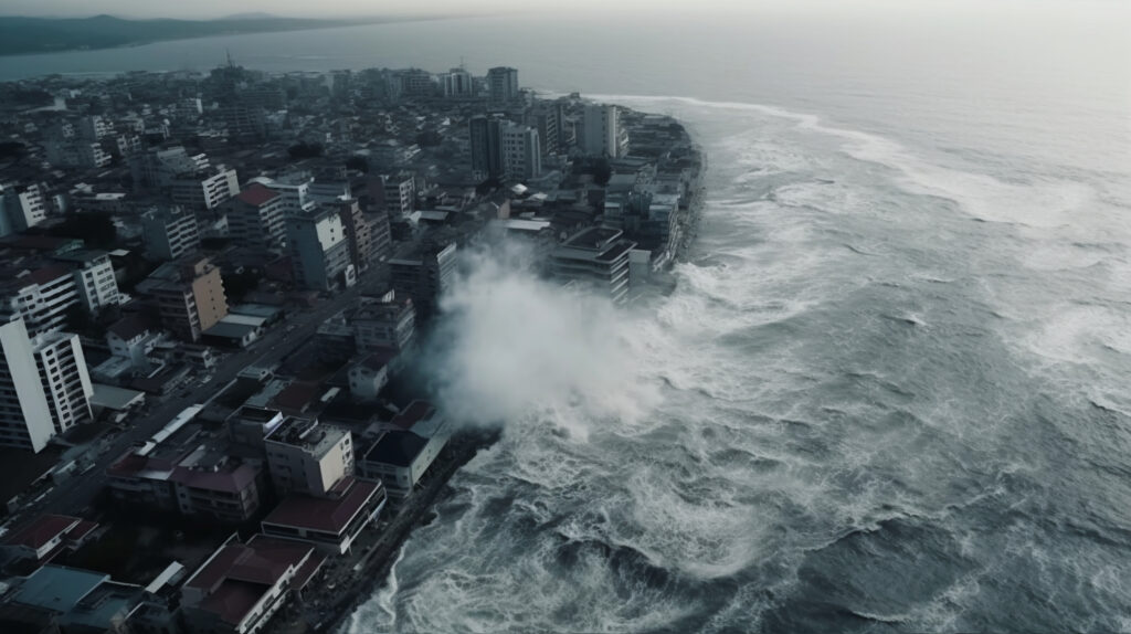
A coastal storm surge zone faces strong hurricane water impact exposure. These zones often experience higher insurance cost adjustments. Storm history strongly influences pricing decisions. More than five million homes exist in FEMA high-risk zones. Insurance demand continues to grow across coastal states each year. Coastal regions experience faster premium changes. Florida faces frequent storm activity, which leads to frequent insurance pricing changes. Insurance models use historical flood records and climate trend data. Updated maps improve pricing accuracy for insurance companies—risk scoring changes when new data enters systems.
How Flood Zone Changes Affect Homes and Property Value?
Flood zone updates influence property value and home-buying decisions. These changes affect both buyers and sellers in coastal areas. A coastal flood zone shift can change home loan requirements. Lenders review updated FEMA maps before approving mortgages. Insurance proof becomes part of the loan process.
Homes may require stronger safety systems after FEMA updates occur. Elevation and drainage improvements become important for protection. Building rules often change in updated zones. A coastal hazard zone may require stricter construction requirements for homes. Homes in these areas follow updated safety rules, affecting long-term property planning decisions. Real estate markets respond quickly to flood map changes. Buyers compare risk levels before making purchase decisions. Awareness helps reduce financial uncertainty. Flood maps help families choose safer homes and better financial planning across coastal regions.
How to Prepare for New FEMA Flood Map Updates
Preparation helps reduce the impact of FEMA flood map changes. Simple planning steps make a major difference for homeowners. A flood insurance rate quote shows updated pricing after map changes. Homeowners use this information for budget planning. This helps avoid sudden cost increases.
A local flood insurance quote provides region-specific pricing details. Local conditions improve the accuracy of insurance estimates. This supports better planning decisions. Checking FEMA maps regularly helps track risk changes early. County offices provide updated flood information for homeowners. Awareness reduces unexpected changes.
A coastal flood risk area may expand after storm analysis updates. Early planning helps reduce the impact of these changes and stabilizes insurance decisions. Moreover, insurance companies update pricing using FEMA map data. Policy review after updates helps maintain proper coverage, which supports financial protection planning. Flood awareness continues to grow across coastal regions nationwide. This improves long-term safety planning for communities.

Final Thoughts
FEMA flood maps continue to change based on environmental data updates. These changes influence insurance, property value, and safety planning decisions.
A Coastal High Hazard Area (CHHA) shows regions exposed to strong storm surge danger. These areas require stronger protection and careful planning decisions. Risk awareness supports better financial stability.
Flood Insurance HQ helps simplify FEMA flood map changes for homeowners. It supports clearer insurance understanding across coastal regions and guides flood protection planning. We help families review flood zone updates clearly and assist with insurance planning decisions. Our guidance supports stronger long-term protection choices. Understanding flood maps reduces financial uncertainty for homeowners. Early planning improves safety and insurance stability across regions.
Protect your home from flood zone changes now?
Protect My Home Today
FAQs
-
What is a Coastal High Hazard Area (CHHA) in FEMA flood maps?
A Coastal High Hazard Area (CHHA) includes regions exposed to strong storm surge forces. These areas face higher flood exposure after FEMA map updates. We at Flood Insurance HQ help homeowners understand these zones clearly. We also guide families through insurance planning based on updated coastal risk conditions.
-
How often do FEMA flood maps update coastal zones?
FEMA updates flood maps every few years using new climate and storm data. Coastal zones may shift based on these updates over time. We at Flood Insurance HQ help homeowners stay informed about changes. Moreover, our professionals explain map updates and support better insurance planning decisions for long-term protection.
-
What is a coastal flood risk area?
A coastal flood risk area includes land exposed to storm surge and ocean water impact. These zones may change after FEMA map updates occur. We at Flood Insurance HQ help homeowners understand risk levels clearly. Our team provides guidance for insurance planning based on updated flood exposure conditions.
-
How do FEMA map updates affect insurance pricing?
FEMA map updates change risk levels, which affect insurance pricing structures. Premiums may increase or adjust after new classifications appear. We at Flood Insurance HQ help homeowners understand pricing changes clearly. Our team supports better insurance decisions after FEMA updates for more stable financial planning outcomes.
-
Why is flood insurance important after FEMA updates?
Flood insurance becomes important when FEMA updates increase risk levels for properties. Coverage protects homes from storm and water damage losses. We at Flood Insurance HQ help homeowners choose suitable policies. Moreover, we support stronger protection decisions after flood map changes for improved long-term safety planning.