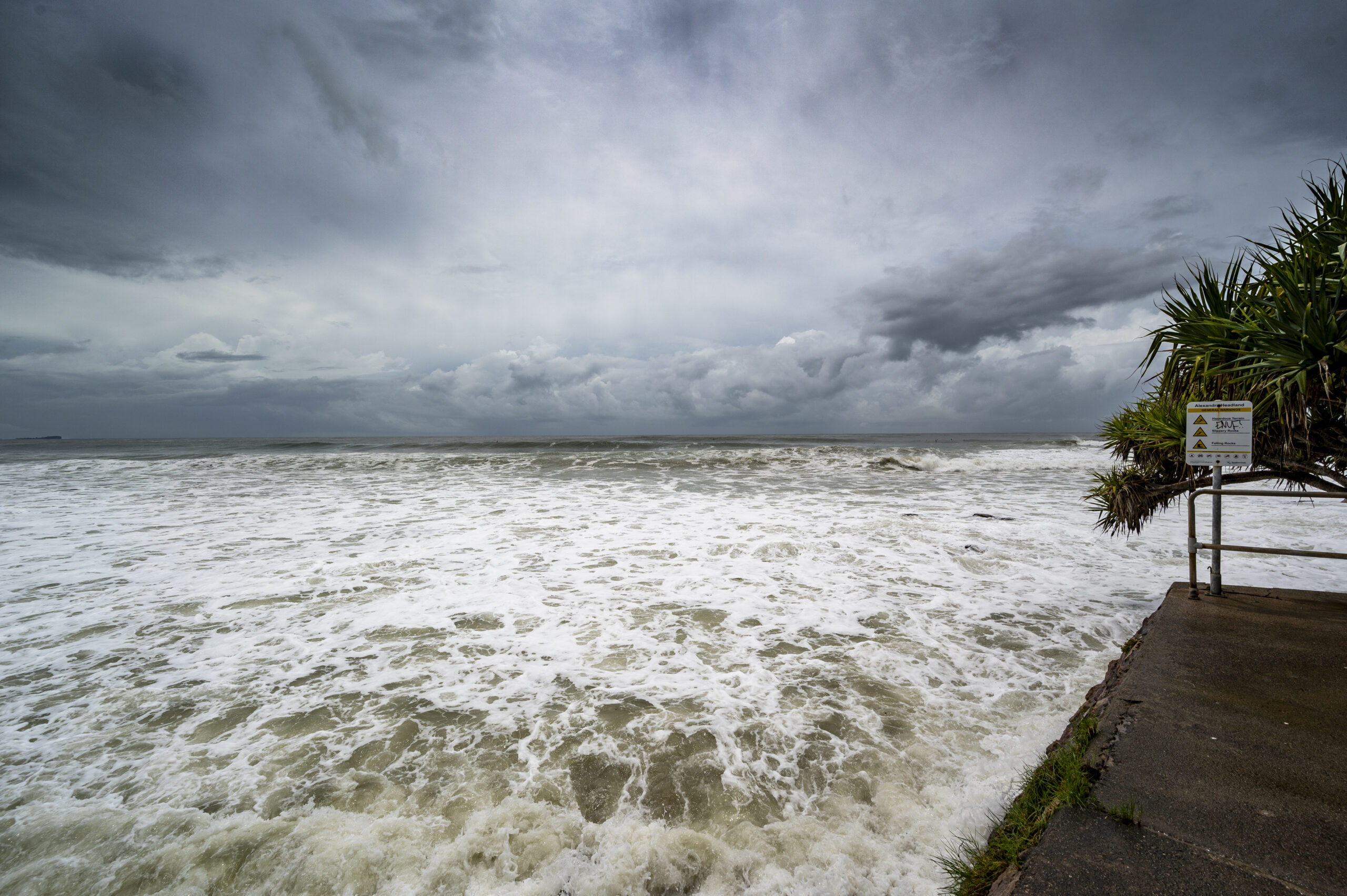
Flood damage causes billions in losses every year in the United States. Many losses happen outside high-risk zones. Homes far from rivers still face flooding after heavy rainfall. That makes this map important for every property owner. Banks use a map before approving home loans. Insurance companies rely on it to set flood coverage rules and pricing. Local governments use it for building codes and safety planning. Every property decision connects back to this map.
A Flood Insurance Rate Map (FIRM) is an official FEMA map that shows flood risk areas across a community. It identifies where floodwater may rise during major storms. It also explains how severe flooding may become in different locations. FEMA creates these maps using rainfall data, river patterns, elevation levels, and long-term weather records. At Flood Insurance HQ, we help simplify FEMA flood map details for better property planning and insurance decisions. This guide explains how Flood Insurance Rate Maps work and how they impact insurance decisions.
How Does FEMA Flood Map Define Flood Risk Zones?
A FEMA flood map divides land into zones based on flood probability. Each zone shows how flooding may happen in that area. These zones guide insurance rules with construction limits and mortgage requirements. High-risk areas fall under Special Flood Hazard Zones. These zones have at least a one percent annual flood chance. Many people call this the 100-year flood zone.
Zones like A and VE lie in the high-risk categories. Zone AE includes Base Flood Elevation data. This shows the expected floodwater height during severe storms. Zone VE applies to coastal areas with wave impact risk. Further, Zone X represents moderate and low-risk areas. Flooding happens less in these zones as the weather changes create risk in these locations.
Are you ready to start reviewing your flood risk today?
Get Started Now
How Does a Flood Zone Map Affect Insurance and Property Value?
A flood zone map affects insurance costs and home value. Lenders require flood insurance in high-risk zones with mortgages issued by private lenders. High-risk zones have higher insurance costs because flooding happens more often. Moderate zones have lower costs but still face some flood risk. Low-risk zones can also flood during strong storms. Moreover, home prices change according to the flood zones. Homes in high-risk areas sell for lower prices. Insurance costs also affect buying and long-term home expenses.
Flood zone status also affects resale demand. Buyers check flood insurance rate map details before making offers. Higher insurance costs reduce monthly affordability and reduce market value in many cases. Lower-risk zones attract more buyers and lower insurance costs.
How Do You Read A Flood Map By Address?
A flood map by address shows flood risk for a specific property. FEMA provides a free online tool for this purpose. Users enter an address to view zone details. The map shows flood zone classification and Base Flood Elevation to help guide construction decisions and insurance planning. Floodway areas also appear near rivers and streams. These areas carry fast-moving water during floods. Construction rules remain strict in these zones. Survey reports help provide accurate elevation details for properties near zone boundaries, improving precision when FEMA maps alone do not show enough detail. A FEMA flood map also shows nearby zone changes. Small distance differences can change risk levels. One property may be high-risk, so address checks matter before buying or building.
Why Does the Flood Insurance Rate Map Help in Financial Planning?
A Flood Insurance Rate Map (FIRM) affects mortgage approval and insurance costs. High-risk zones usually increase insurance premiums. Lower-risk zones reduce costs. However, every zone still carries some level of flood risk. Base Flood Elevation guides building height requirements. Building above this level reduces flood damage risk. It may also lower insurance costs over time.
A flood risk map classification also impacts long-term budgeting. Insurance premiums become part of yearly home expenses. Higher premiums reduce disposable income. This affects loan affordability and property selection choices. Incorrect zone understanding can lead to financial loss. Underestimating risk may lead to low coverage. Overestimating risk may lead to higher expenses. Both situations affect long-term financial stability and protection strength.
How Do Flood Risk Maps Help Reduce Property Damage?
- Flood risk maps help reduce damage by showing exposure levels early. This allows better preparation before storms arrive. Homeowners can adjust systems and improve safety planning.
- Flood damage causes billions in losses every year. Many losses occur outside high-risk zones. This shows flood events remain unpredictable and widespread.
- Builders use elevation data for safer construction planning. City planners use these maps for drainage system design. This helps reduce flood impact across entire communities.
- A property flood map also guides renovation decisions. Homeowners may raise electrical systems or move critical equipment higher. These adjustments reduce repair costs after flooding events.
- Insurance claims also depend on correct mapping. Accurate classification supports faster claim processing. It also reduces disputes during recovery after flood events.

Final Thoughts
A Flood Insurance Rate Map (FIRM) shows flood risk for every property. It affects insurance costs and local building rules. Flood zones and Base Flood Elevation data help determine possible flood exposure during weather events.
Moreover, a FEMA flood map also supports property planning and construction decisions. High-risk zones require flood insurance for mortgages issued by private lenders. Building rules may also change based on flood zone classification and elevation levels. Flood maps also help buyers compare long-term property costs before purchase decisions. Insurance premiums change based on flood zone risk. Homes located in lower-risk areas may carry lower yearly insurance costs. Flood map details also help property owners prepare for future repairs and renovation planning.
At Flood Insurance HQ, we help provide accurate flood map information that supports better financial planning and property protection. It supports informed insurance decisions for homeowners and property buyers.
Confused by flood maps and zone codes and need guidance?
Talk to a Flood Expert Now
FAQs
-
What does a Flood Insurance Rate Map (FIRM) show for a property?
A Flood Insurance Rate Map (FIRM) shows flood zone classification and Base Flood Elevation for properties clearly. It includes nearby floodway areas around the locations. Additionally, you will get to know the flood risk for specific property locations and the insurance requirements. At Flood Insurance HQ, support helps understand FIRM details for better insurance decisions.
-
How do I check a flood map by address?
A flood map by address can be checked using FEMA’s online Flood Map Service Center. Entering an address shows flood zone and Base Flood Elevation data for that location. At Flood Insurance HQ, support helps interpret these results so insurance requirements and property risks become easier to understand using the flood map by address information.
-
Why does a flood risk map matter when buying a home?
A flood risk map affects insurance costs, mortgage approval, and long-term expenses. It shows flood exposure before purchase and helps guide safer property decisions. At Flood Insurance HQ, buyers are guided to review flood maps early so property decisions include real risk and cost understanding using a flood risk map.
-
How does a flood insurance broker help with FEMA maps?
A flood insurance broker helps interpret FEMA flood maps and connects zone data with insurance options. At Flood Insurance HQ, guidance ensures flood zones are correctly understood so insurance coverage matches real property risk using a flood insurance broker approach for better protection planning.
- Why is a flood insurance expert helpful for map reading?
A flood insurance expert works daily with FEMA maps and elevation data. This improves accuracy in risk understanding and insurance planning. At Flood Insurance HQ, expert support ensures flood maps are interpreted correctly for better property protection using a flood insurance expert approach.