Traditional flood risk models rely on broad regional historical data. These outdated models miss structure-specific vulnerabilities. At Flood


Traditional flood risk models rely on broad regional historical data. These outdated models miss structure-specific vulnerabilities. At Flood

Federal Emergency Management Agency (FEMA) flood maps establish baseline water-hazard estimates for Florida real estate. Traditional static maps

Understanding Resilient Communities and Their Connection to Flood Insurance Managing flood risk takes effort from both homeowners and

Rising water levels and severe storms make protecting your property a top priority, but the way insurers calculate

The insurance landscape is undergoing a transformation driven by technological advancements and shifting environmental patterns. Flood Insurance HQ
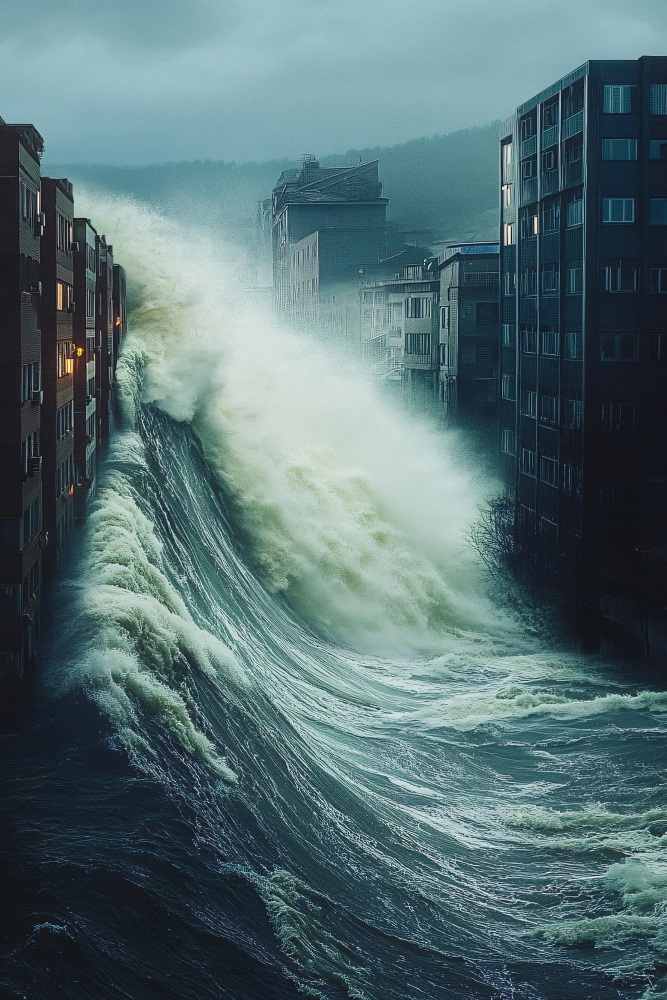
Rising water levels pose a continuous threat to residential structures and commercial real estate across coastal and inland

Flooding is one of the most destructive, unpredictable natural hazards in Florida. Old risk models look at past

Protecting homes and businesses in coastal areas requires modern tools instead of old maps. Flood Insurance HQ offers

Flooding presents an ongoing threat to residential property. Modern risk management requires precise solutions rather than guesswork. Smart

The coastal and inland property safety across the state is undergoing a massive transformation. For decades, tracking water

Understanding modern weather tools changes how people protect coastal property. This guide shows how flood prediction technology helps

Florida property owners face big risks because of the long coastline. The flat land and frequent tropical storms


Understanding flood insurance options in Florida requires comparing government programs against independent options. Selecting private flood insurance in

Changing weather patterns and localized rainfall events create constant financial risks for property owners across coastal and inland

Property owners often misjudge water risk during severe storms and intense downpours. Relying on outdated elevation maps creates

Flooding is one of the most destructive natural hazards in North America. It often causes thousands of dollars

Protect Your Home from Flooding – Get a Free Quote Today!
Fill out the form below to receive your personalized flood insurance quote in minutes.
"*" indicates required fields